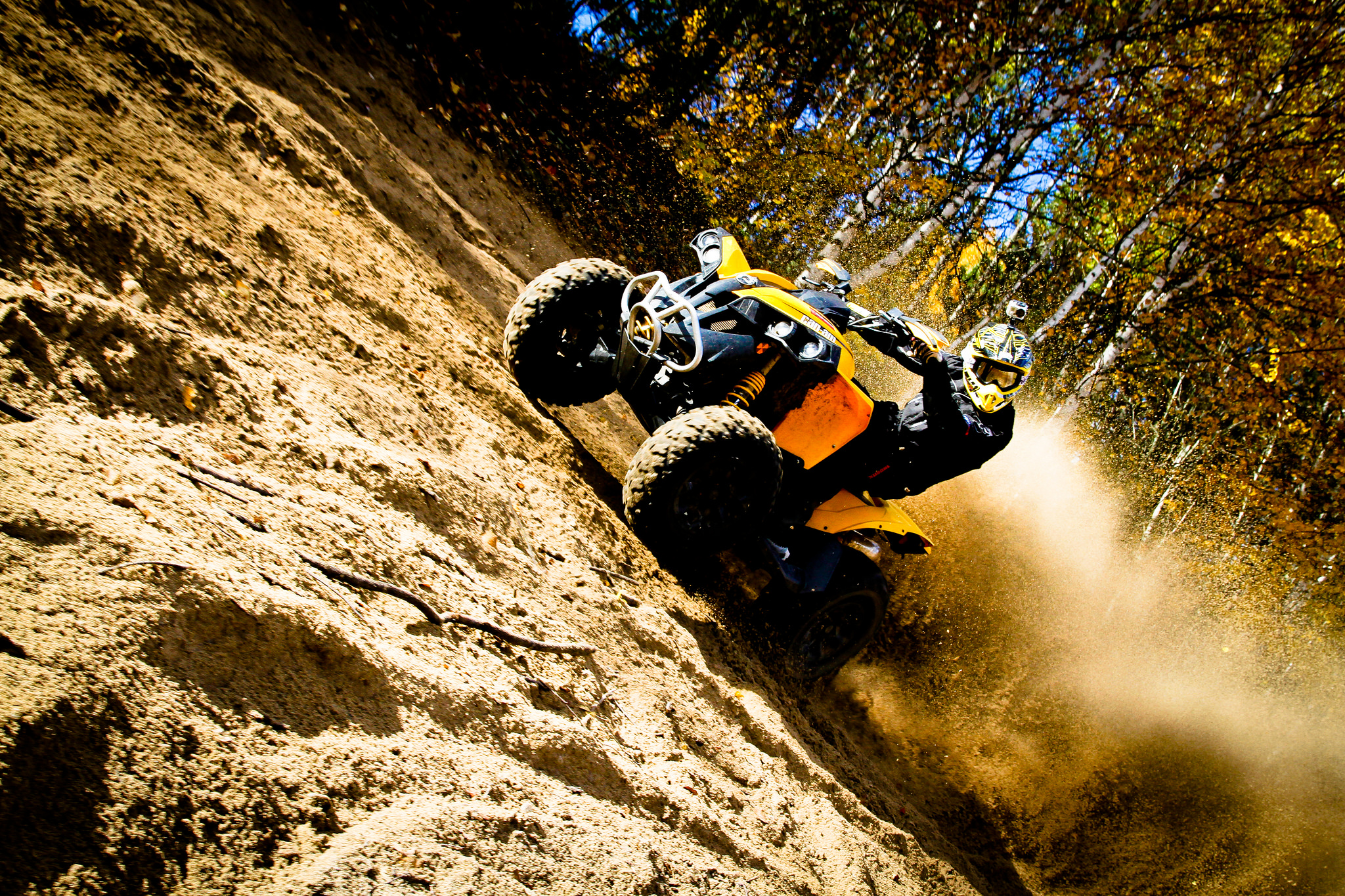
The Complete 2026 List of ATV Events in Ontario
Poker Runs, Mud Bogs, Charity Rides, Rallies and more!
By Mike Jacobs


Editor's Note: There's something about ghost towns that cuts straight to the soul of anyone who's wondered what came before. What was it like to live in Ontario before internet, texting, or other "essentials" to modern life? The combination of increasing land developments and Mother Nature's relentless attack on the roads and paths we build make visiting these relics a rarer and more difficult thing to do each year. In the first of this two-part series, we follow Adam Columbus on his journey through the past the only way the Old Nipissing Road allows—by ATV.
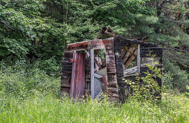
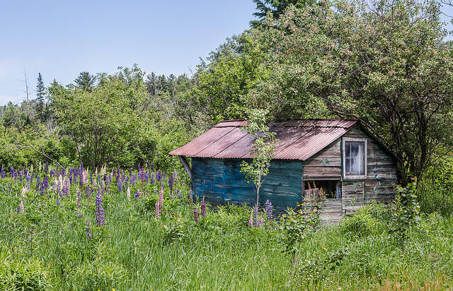
My fascination with ghost towns and abandoned places came from riding ATVs in the back country of Ontario, where there are so many forgotten places to find that you practically trip over them by accident. Often there's an intriguing and dark reason why they were abandoned. I once found a headstone for a family of six, with four children under eight that died within a month of each other in 1902. A little research led me to believe that this family, as many others, were killed by an outbreak of the plague that devastated many early pioneers who faced severe hardships to move themselves here. All of them were lured to settle or pass through this harsh landscape by government land grants in the mid-1800s.
Many towns sprang up and prospered because the construction of railroads made large scale logging operations possible. This often led to over-logging, which forced entire towns to pack up and move. Natural disasters also caused railroads to moved on to create new towns—in each case, the skeleton of what was once a vibrant town was left behind to be reclaimed by nature.
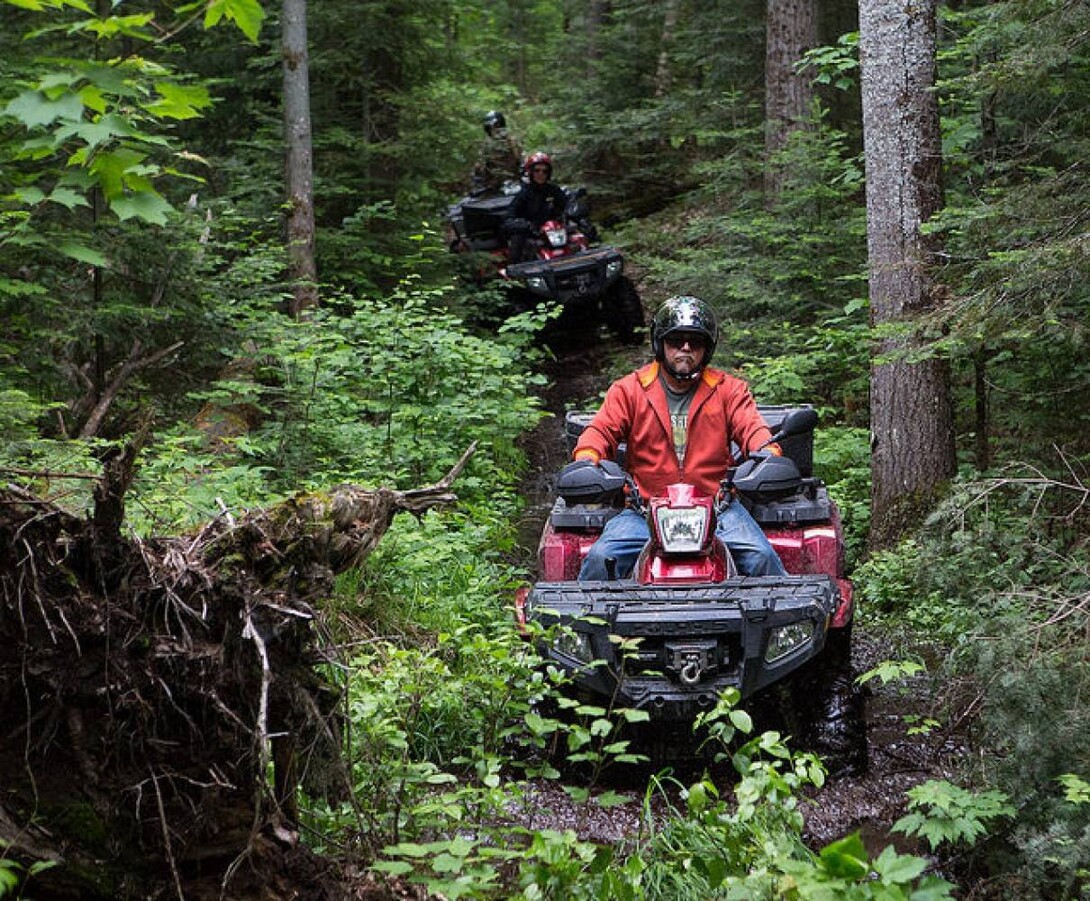
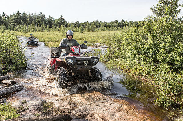
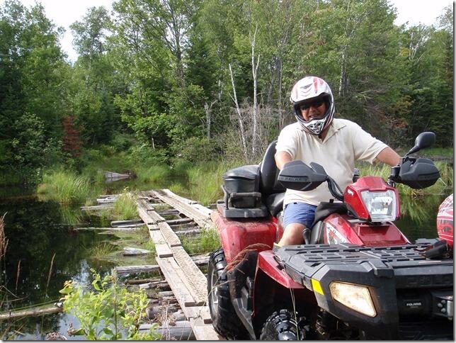
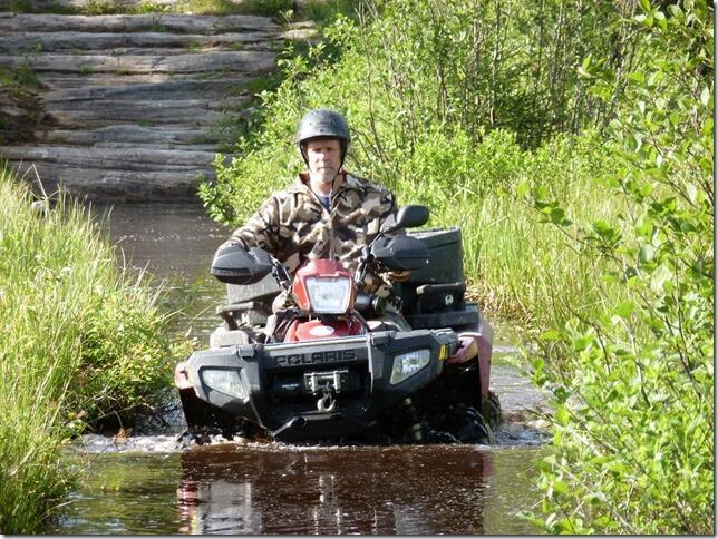
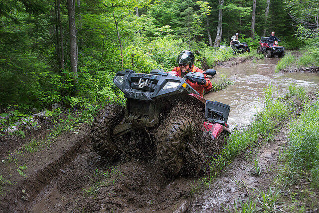
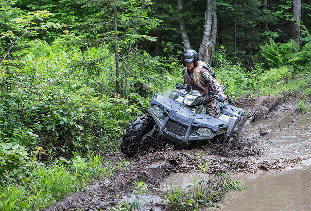
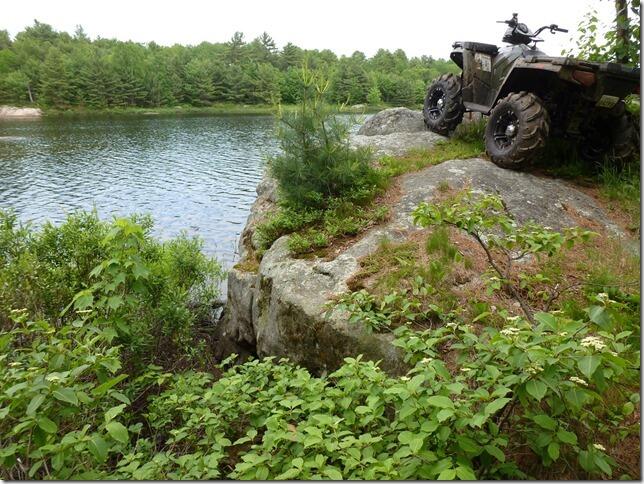
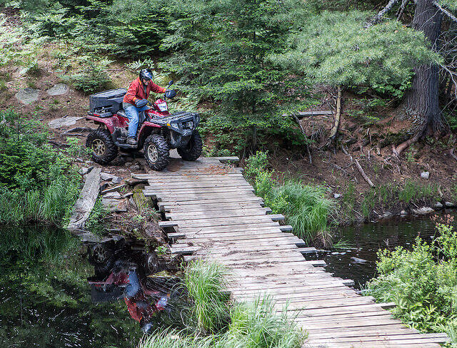
The first section of this epic ride is what I like to call Disneyland for ATVs. There is no club and these trails aren’t sanctioned or insured, so anyone that rides there does so at their own risk. It is ridiculously easy to make a wrong turn and end up five feet deep in a swamp. I kneel before those who built these bridges that make it passable. Thank you! There have been vast improvements in the last five years, thanks to the OFSC moving their trails right onto the ATV trail and building much safer bridges in some areas.
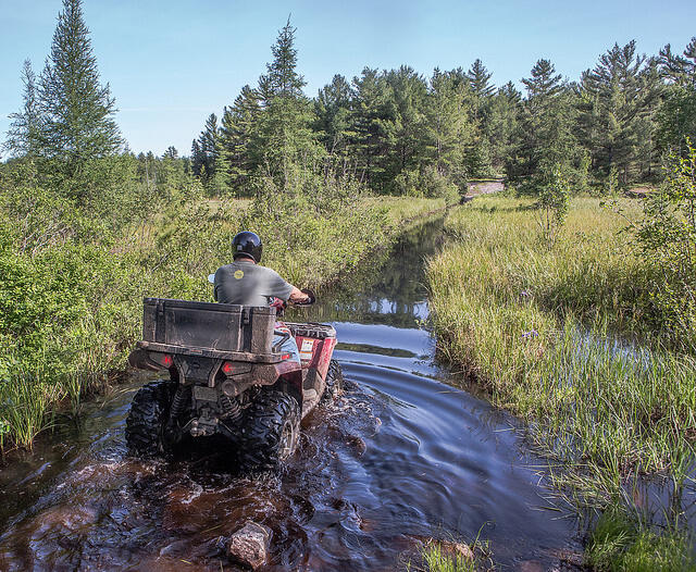
I have ridden it four times—my first two attempts failed. Once we nearly made it to the end, close to Rosseau, but the last swamp was just too deep and it was too late in the day to risk it. I did give it a go, and this swamp is where I found out that my bike will float before it quits running. It is a narrow trail with muskeg on both sides that I was able to use for added stability, but to cross a 200-yard swamp that deep with nothing to tie onto forced me to change my mind after I was in it, and turning around in soft muskeg when your bike is floating is a real challenge.
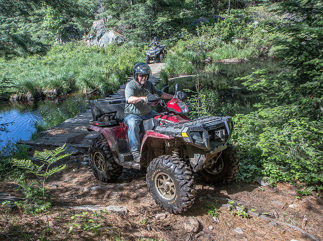
In the second attempt we made a wrong turn, rode it too far and spent the rest of the day getting ourselves out. The Ontario Backroads maps loaded into a GPS is one of the few ways to tell where you are, where the real trail is, what is Crown land and what isn’t—it's a necessity for this ride. The stories online about this trail redirect you to passable roads to wind your way through the ghost towns, but much of it isn’t the real Nipissing Colonization road.
It's hard to believe that in the 1870s there was stagecoach service from Rosseau to Nipissing through here every two days—the stagecoaches had to be fitted without springs because springs were the first things to break on trails this rough. Most people chose to walk instead. It must have been a very slow, rough ride. It took seven days to complete the 100-km journey from one end to the other by stagecoach. The swamps are deep and the trail is extremely rocky and rough, even by ATV. I’m shocked a stagecoach could pull it off once, never mind as a regular service.
This area is steeped in interesting history. You can now access stories online about life for the early pioneers in a fascinating a book written in 1888 called The Sportsman’s Paradise by BA Watson. Chapter four (page 71) is a good place to start.
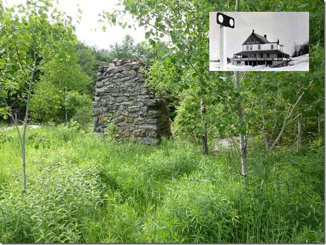
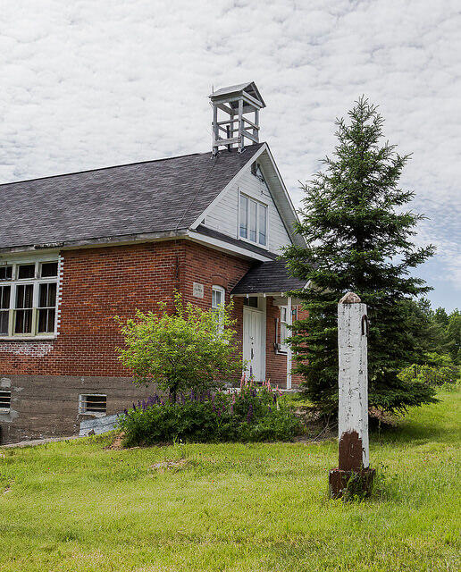
Once all this has been navigated, you come to the first ghost town of our tour and probably the best known: Seguin Falls, population 500 until the early 1930s. It is along the Seguin Trail, on Old Nipissing Road south of Highway 518 West. It actually moved 2 km south in the late 1800s to meet the new railroad and train station for the newly constructed Ottawa, Arnprior and Parry Sound Railway built by J.R. Booth.
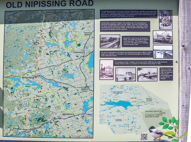
This is a map of the Old Nippissing Road Tour, most of which we have yet to complete. The part we have done is at the very bottom, heading south off of this map—note the yellow line. On our next trip we will attempt to the ride from the blue line at the bottom through to Commanda at the top, following the actual colonization road and avoiding the detours that make up the more commonly travelled path.
For a complete list of ATV trails in Ontario, click here.