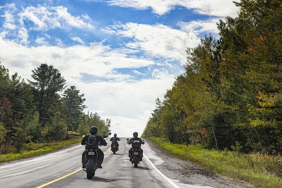

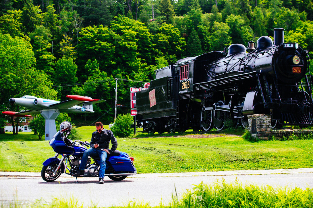
Ontario Motorcycle Events
Let's Ride!
By Mike Jacobs


Apps are essential to our daily lives nowadays. They tell us the weather, where to eat, how to navigate traffic, and just about anything else we need to know to help make life easier. Luckily for us motorsports geeks, apps have also steadily improved in our area of interest. For that reason, I decided to scour the web in search of some of the best cool and handy motorsports apps to help improve your riding experience, be it in on the trails, roads, or water. (I did my best to limit my picks to free ones, but some do cost a few bucks.)
Cost: Free
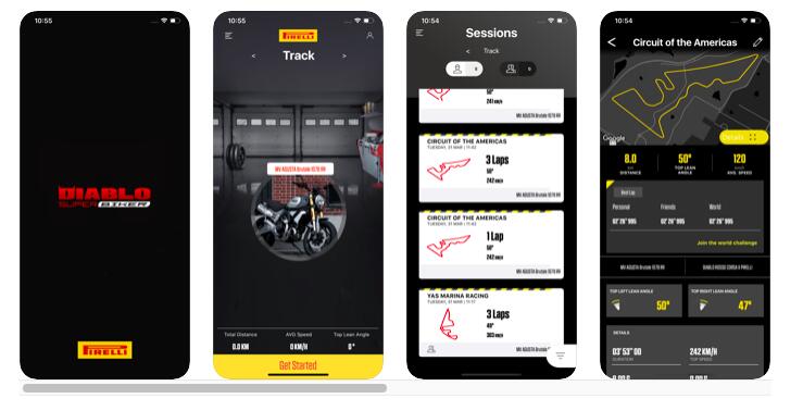
This app for bikers is packed with features that let you track, measure, and record your rides as well as share info about your sessions either on the road or at the track. Record lean angles and lap times, and see where you rank in the world compared to other enthusiasts. Users can create a profile by inputting their bike stats, and then selecting the sort of ride they're doing–tracks and laps or open road. While some users note the speeds registered aren't always 100% accurate, the apps has got rave reviews from faithful followers who love being able to keep track of each ride and compare data across multiple rides.
Cost: Free with in-app purchases available for CrashLight technology
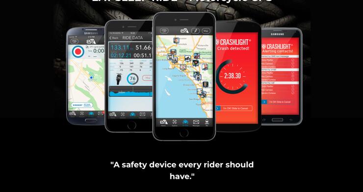
EatSleepRIDE is a social media platform based in Canada that’s geared towards the hardcore motorcycle enthusiast. It offers a host of cool features, including popular motorcycle routes (3000+ worldwide), the ability to track your own rides, logging speed, distance, elevation, and lean. You can create a ride group and see everyone’s location on a map at any time. All these features are compatible with Apple Watch as well.
If that’s not enough for you, the CrashLight protection is sure to get your attention. This is a subscription in-app feature that uses gyroscope, GPS, and accelerometer technology in your phone to detect when you’ve had a crash. It then automatically sends alerts to three pre-programmed contacts from your phone’s contacts list. If the incident is minor, you can simply cancel the alert within a 3-minute window. There aren’t too many apps out there that can actually save your life!
Cost: Free
Compatibility: Android, iOS, Windows
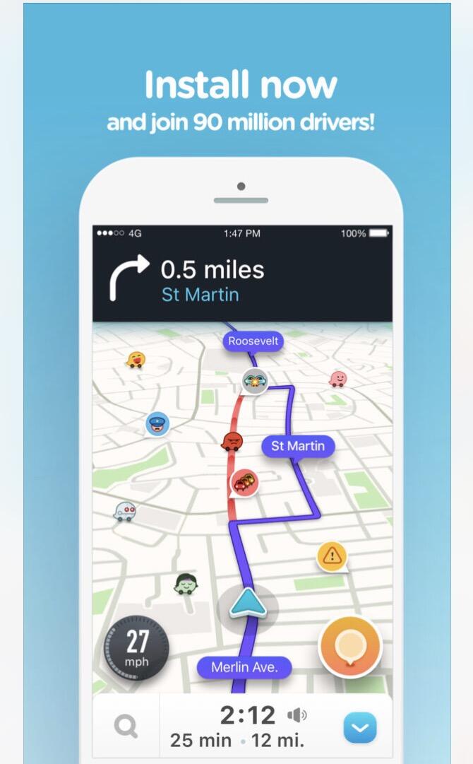
This genius app combines the popularity of social media with the benefits of a standard map program. Waze (pronounced “ways”) provides users with the ability to share real-time traffic issues such as construction, traffic jams, red light cameras, police locations, and even potholes ahead! (The last one is particularly important if you’re on a motorcycle).
Another great feature is being able to share your routes with other users, who are then able to track you in real-time. This works well for riders who travel in big groups and can easily be separated. I personally use this when driving my car and can attest to how cutting edge the real-time traffic technology is. Anytime I drive somewhere, I punch the address in on Waze and it almost always routes me a faster way than I would have chosen on my own!

Cost: Free
Compatibility: Android, iOS, Windows
This is a must-have if you’re a snowmobiler that utilizes the 30,000 kilometres of OFSC’s (Ontario Federation of Snowmobile Clubs) trails in Ontario. The OFSC Interactive Trail Guide is the only province-wide snowmobile trail reference tool, providing users with real-time trail conditions, nearby fuel stops, and other points of interest. All of this is conveniently and easily displayed on your smartphone.
Cost: $9.99
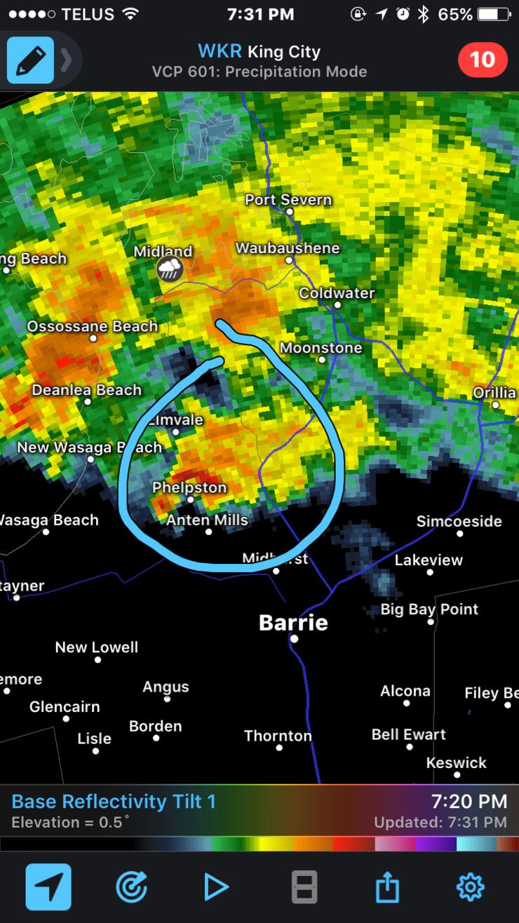
Sure this one isn’t motorsports-specific, but where it shines (pun intended) is in how it relates to all activities with success dependent on the weather. RadarScope won’t give you long-range forecasts or clever weather headlines, but it will supply you with enough real-time radar imagery to make sure you never get caught in another torrential downpour again. It’s geared towards serious weather enthusiasts (and meteorologists) that desire detailed real-time radar data and severe weather warnings at the touch of a button. I won’t delve into all the fancy features, but basically most other weather apps only display PNG or smoothed GIF images in their radar feature. RadarScope displays real Level 3 raw radar data in its original radial format. This produces a high level of detail and can allow users to see exact storm direction in relation to their location.
I’ve found this very useful in any season, but especially in spring and summer, when thunderstorms are common. It also measures lightning strikes, rate of precipitation per hour, and even shows detailed wind velocity. Next time the sky turns black, you can make educated decisions on when and where to take cover and when it’s safe to get back on the road or trail.
Cost: $3.99 for Android, $5.49 for iOS (“Lite” version with ads and fewer features is available for free)
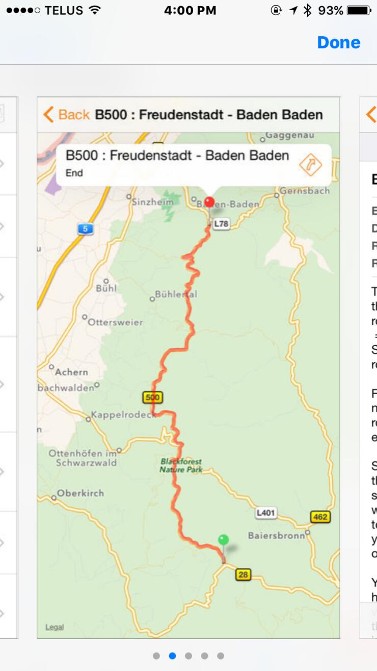
It certainly doesn’t get the award for the most original name, but it does exactly what its name suggests: shows users the most popular motorcycle routes around. Many of which include pictures and video illustrating why you may want to check a particular road out and what you’ll find along the way. This app is ideal for those adventurous riders who don’t mind straying from their regular routes and are keen to find out what’s waiting around the next corner.
Cost: Free
Dubbed “the world’s largest and fastest growing peer-to-peer boat rental and charter marketplace,” GetMyBoat began in 2013. It then focussed on rentals and charters in an effort to ease some of the high costs of boat ownership, since vessels often sit in slips un-used. Today, they’ve built on that model to encompass all forms of aquatic experiences including booking fishing charters, surfing lessons, paddleboard rentals, rafting trips, diving tours, and much more. Regardless of the activity, GetMyBoat will make it easy to find rentals, tours, and lessons anywhere in the world. Very cool!
Cost: Free
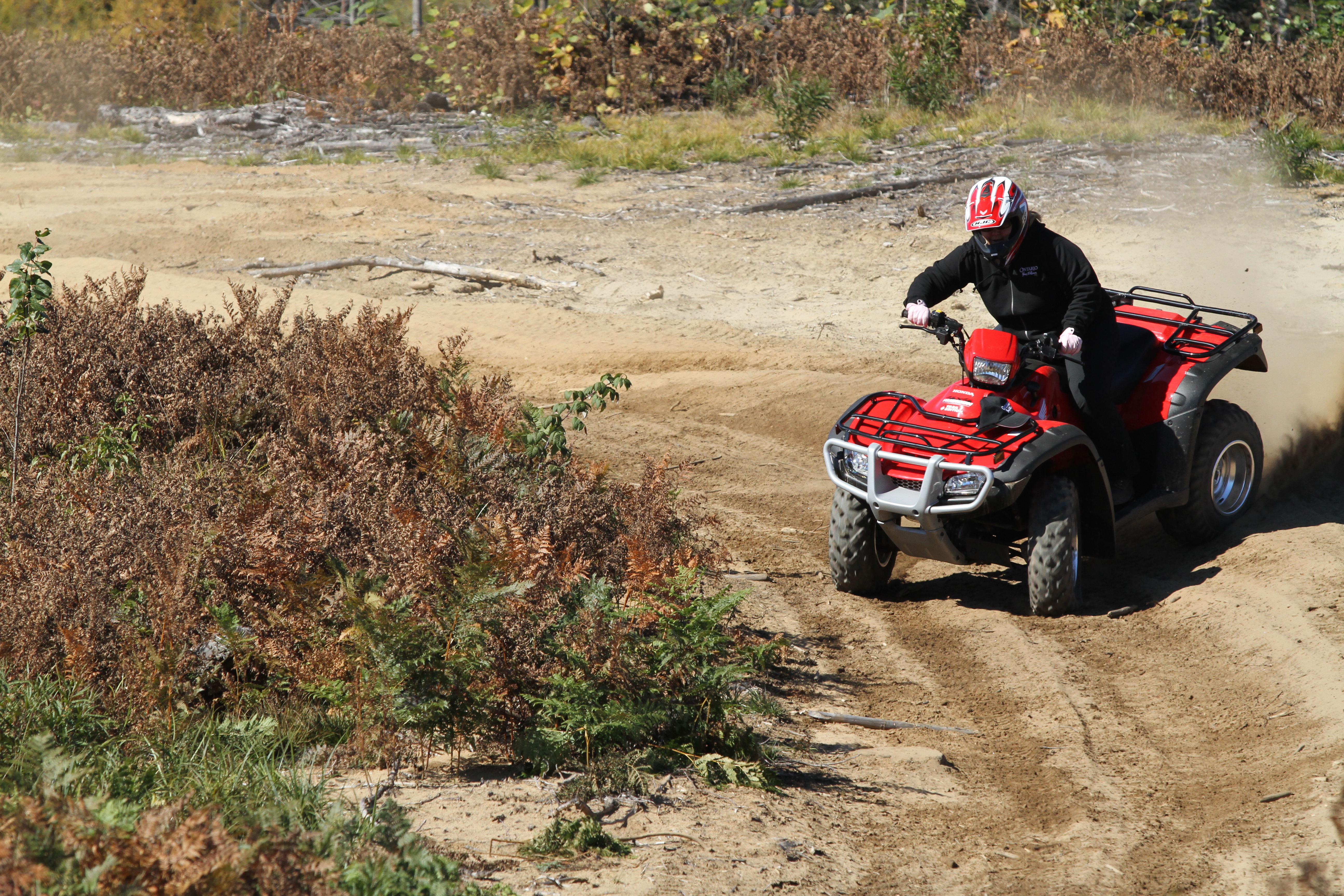
UTV Trails may be the only trail mapping app and database geared towards motorized off-road vehicles. Several exist for mountain bikes and hikers, but UTV Trails has us gearheads in mind. One main feature is location sharing—where you can choose to share your location with people in a channel of your choice or with everyone. You can also add waypoints, add details about each trail, and have them uploaded to UTV Trail’s database. If you spend time trail riding on a dirt bike, ATV, or UTV this one is worth checking out.
Cost: Free
Compatibility: Android, iOS, BlackBerry
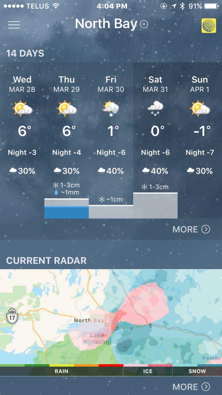
I debated about including two weather-related apps on this list, but the ones I’ve included are vastly different and both serve a useful purpose. While RadarScope is all about seeing immediate weather, The Weather Network does everything else.
Voted Canada’s #1 weather source for a reason, some of its great features include long-range forecast, weather warnings (in the form of push notifications), precipitation start and stop times, and a radar which has a simulation that goes several hours ahead of current time to give you an idea of what’s upcoming. You also get short-term forecasts, with just about every bit of info you could want (wind speed, barometric pressure, UV report) and even trending weather-related videos.
I’ve been using this one for a couple of years now and checking it has become part of my daily ritual before heading out for the day.
Cost: Free (with in-app purchase)
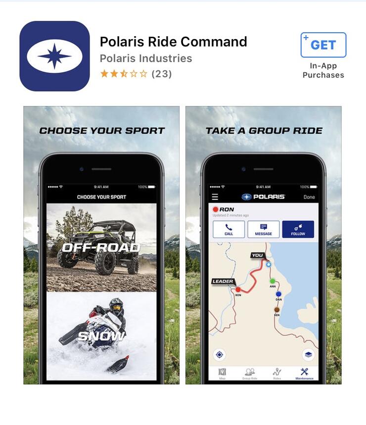
The Polaris Ride Command app has been available for a few years for off-road and snowmobile enthusiasts looking for a navigation-based program. With a host of updates, it was an obvious choice to round out this list.
Ride Command has nearly half a million kilometres of trail data across North America documented. It allows you to view ride areas and points of interest, and access a list of Polaris dealerships on a map displayed right on your phone or tablet. Ride Command lets you download maps for use offline, too. Another popular feature is the real-time ability to show the conditions of snowmobile trails (much like the OFSC Interactive Trail Guide) via color-coded ratings.
Its best features, in my opinion, are the “Group Ride” and “Follow the Leader” functions. With these enabled, you can keep track of everyone in your group—meaning no one will be left behind when out on a long ride. (You can also invite other riders to your group and view their location live on the map.) I can’t count the number of times we’ve been on a photo shoot and everyone takes off as one rider is left behind with a machine that won’t start. The group ends up having to park and wait for the last rider, or someone goes back to look for them, creating further delays. This app seems like a no-brainer for riders who travel in groups on long rides and want to improve communication.
There are loads of great apps available to make your touring life even more enjoyable. Download these, and check back for updates as we discover more genius tech to add to the list.