
Uncovering Thunder Bay's Hidden Gems
7 Little-Known Spots to Discover in TBay
By Bonnie Schiedel


Last year’s 100th anniversary of the opening of the Outlaw Bridge—the original bridge over the Pigeon River between Ontario and Minnesota—rekindled my curiosity about the border country south of Thunder Bay.
It’s a vast and mysterious area that has a long and checkered history as Indigenous peoples, fur traders, and settlers passed through or explored this area to hunt, trap, fish, prospect, survey, mine, and log. There are remnants of the mining and logging industries and abandoned transportation routes, like the Old Border Road that once led to the Outlaw Bridge.
Based on its name, one might imagine that this bridge was built by bandits or smugglers, but the outlaws were actually law-abiding Rotarians from both sides of the border who grew impatient with their respective government’s apparent inability to work together and establish a proper crossing for automobiles. With a get ‘er done attitude, they took matters into their own hands and built a wooden bridge thereby connecting Thunder Bay (then Port Arthur and Fort William) and Grand Marais by road on August 18, 1917.
The Old Border Road was abandoned in the 60s when the highway was realigned, but the road is still maintained and leads to some exceptional backcountry hiking and biking thanks to local coordinators of the Trans-Canada Trail.
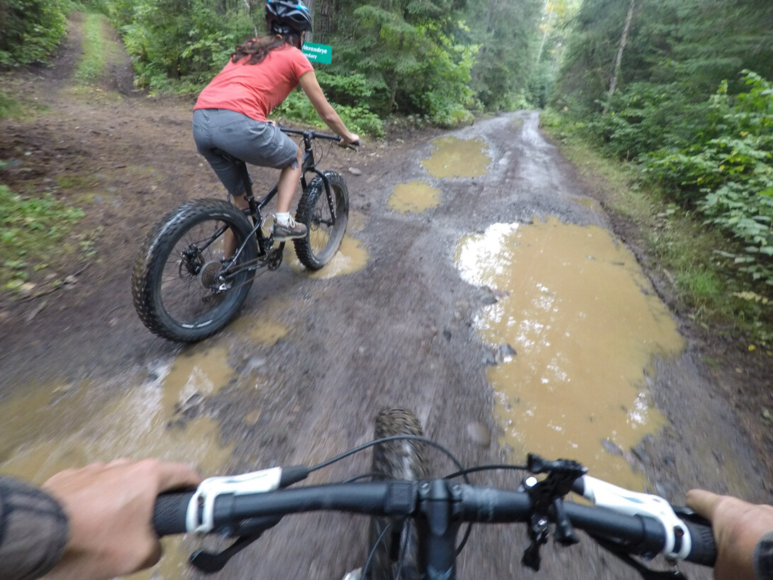
There are two trails that offer unique and completely different experiences—one for hiking and the other for biking. As the Scouts say, “be prepared” because there is no cell service, no gas stations, and barely any people inhabiting this area. You are on your own.
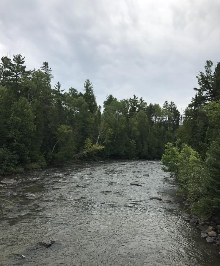
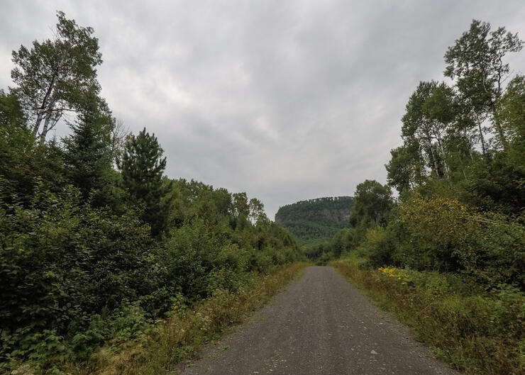
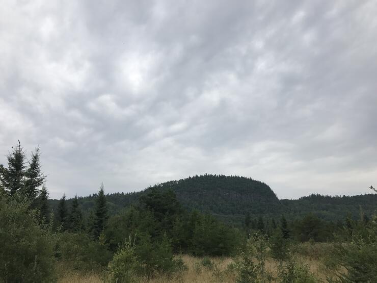
This hiking trail starts at the Old Border Road and follows a gorge along the Pigeon River to the Arrow River Bridge for a round trip of approximately 12 kilometres (7.5 miles). If you prefer a shorter hike, an impressive lookout over the river makes a great destination and a round trip of approximately 6 kilometres (3.7 miles).
Look for the Trans-Canada Trail marker on the Old Border Road (fire number 213). You can park here and head down on the wide grassy trail that travels through a lush low lying area with cedar trees before climbing to the cliffs above the river. You’ll note that the trail is a little overgrown in places, but it is well-marked with flagging tape and signs.
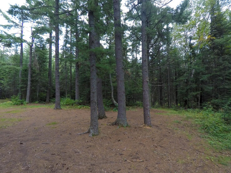
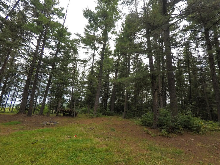
Along the gorge there are towering pine trees, remnants of the forest that stood before the area was logged for white and red pine in the early 1900s. As another example of cooperation between Canada and the United States here in the Heart of the Continent, the Pigeon River gorge is protected on both sides of the international border with Grand Portage State Park in Minnesota, and Pigeon River Provincial Park in Ontario.
When you return to the Old Border Road, take a little detour west to the end of the road to check out the site of the Outlaw Bridge.
The second trail, also part of the Trans-Canada Trail, runs from the Arrow River Bridge on Arrow River Road to North Fowl Lake for a round trip of 56 kilometres (34.8 miles). North Fowl Lake is the start of the Path of the Paddle heading west through the boundary waters. The trail, which is actually an old logging road that is open to vehicles, is not paved, so a cyclocross or mountain bike is best.
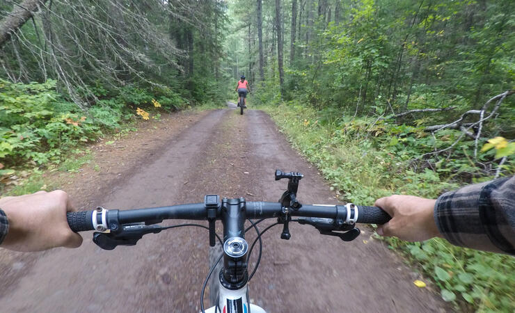
The trail follows Arrow River Road past La Verendrye Provincial Park to North Fowl Lake Road where it climbs up to an elevation of 482 metres (1581.4 feet) before a slight downhill to the lake. It’s noticeable where the park begins as logged forests give way to mature stands with huge pine trees. North Fowl Lake is a beautiful lake and popular fishing spot for bass, pike, perch and walleye. There is a boat launch that enables access to this lake and the larger South Fowl Lake.


At the time of writing this story, the maps for these trails on the Trans Canada Trail’s website and app (The Great Trail app) were not entirely accurate. The section that follows the Pigeon River follows the river more closely than the map indicates.
Also known as The Great Trail, the Trans Canada Trail is a multi-use trail system that stretches from coast-to-coast-to-coast. The initiative is spearheaded by a not-for-profit organization that was created in 1992 and works with local organizations, like Northwestern Ontario’s Path of the Paddle Association. In the Thunder Bay area the system includes hiking trails, biking trails, and water trails (paddling routes). For more information visit thegreattrail.ca.