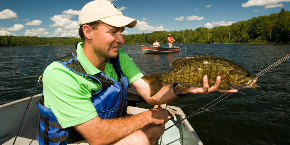
Algoma Shoulder Season Smallmouth Bass
Exceptional times of year to fish in the region
By Mark Melnyk


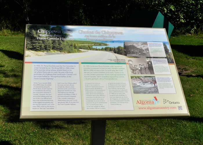
In 2016, a story was published by The Sault Star about the missing plaque marking the halfway point of the Trans-Canada Highway that was stolen over a decade ago and then mysteriously resurfaced.
The sign produced more than 50 years ago, was erected at Chippewa Falls marking the approximate halfway point of the Trans-Canada Highway. For those that may not be aware, the Trans-Canada Highway runs from St. John’s, Newfoundland to Victoria, British Columbia. The building of the highway was part of an act approved in 1949 by Parliament and construction began in the 1950s. The 7,800-km highway officially opened in 1962.
The sign’s original location was about 55 km north of the city of Sault Ste. Marie at Chippewa Falls, about 15 km before Batchawana Bay. Why the sign was pulled out and stolen remains a mystery. The sign surfaced on Kijiji and was being sold by a man from Edmonton, Alberta who’d picked it up at a garage sale. The strange part is that the sign had been manufactured in Edmonton originally. The Ministry of Transportation was contacted and the MTO arranged for the sign to be returned to Ontario. Full details of the find are in the original story in the link above.
In 2015, the owner of the Voyageurs’ Lodge, Frank O’Connor, and friend Art Osborne had discussed having the missing plaque replaced. Now that the sign resurfaced, they needn't. The returned sign was re-installed just in time to celebrate Canada’s 150th birthday in 2017.
If the halfway point of the Trans-Canada Highway is Chippewa Falls, that means it's in the centre. Chippewa Falls is in Algoma Country. Does this mean that Algoma Country is in the centre of Canada?
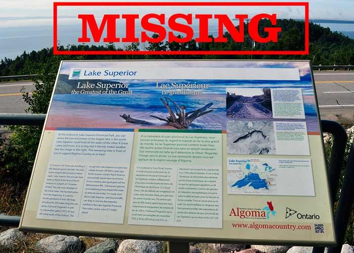
And speaking of missing signs…
Have you seen this sign?
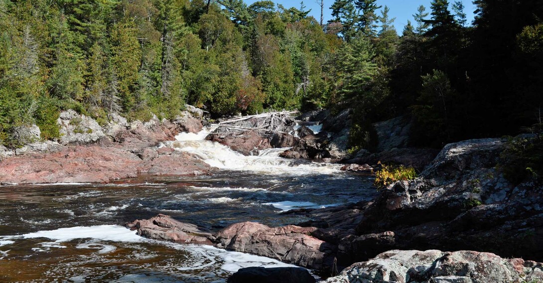
This is easy access, a roadside waterfall that is a popular stop for travellers on the Trans-Canada. It has a picnic area, restrooms plus a viewing bridge to see the entire waterfall. You can hike along the sides of the waterfall. Don’t be surprised to see a photographer, or an artist sketching this waterfall. A.Y. Jackson, a member of Canada’s Group of Seven, painted on the Chippewa River, 30 years after the original Algoma expeditions of 1918-1922.
More Interpretive Signs on the Lake Superior Route: