
Crown Land Camping
What it is and where you can camp in Ontario.
By Trish Manning


Although Northwestern Ontario’s trails are never really crowded, sometimes it is nice to avoid the beaten path and explore areas that are lesser known. Luckily, you don’t need to trek too far into the wilderness to find trails that still offer exceptional views but are relatively quiet. Here are five under-the-radar hiking trails where you can linger a little longer and enjoy the peace and serenity of your surroundings.
Round trip distance: 2.2 km Level: Moderate
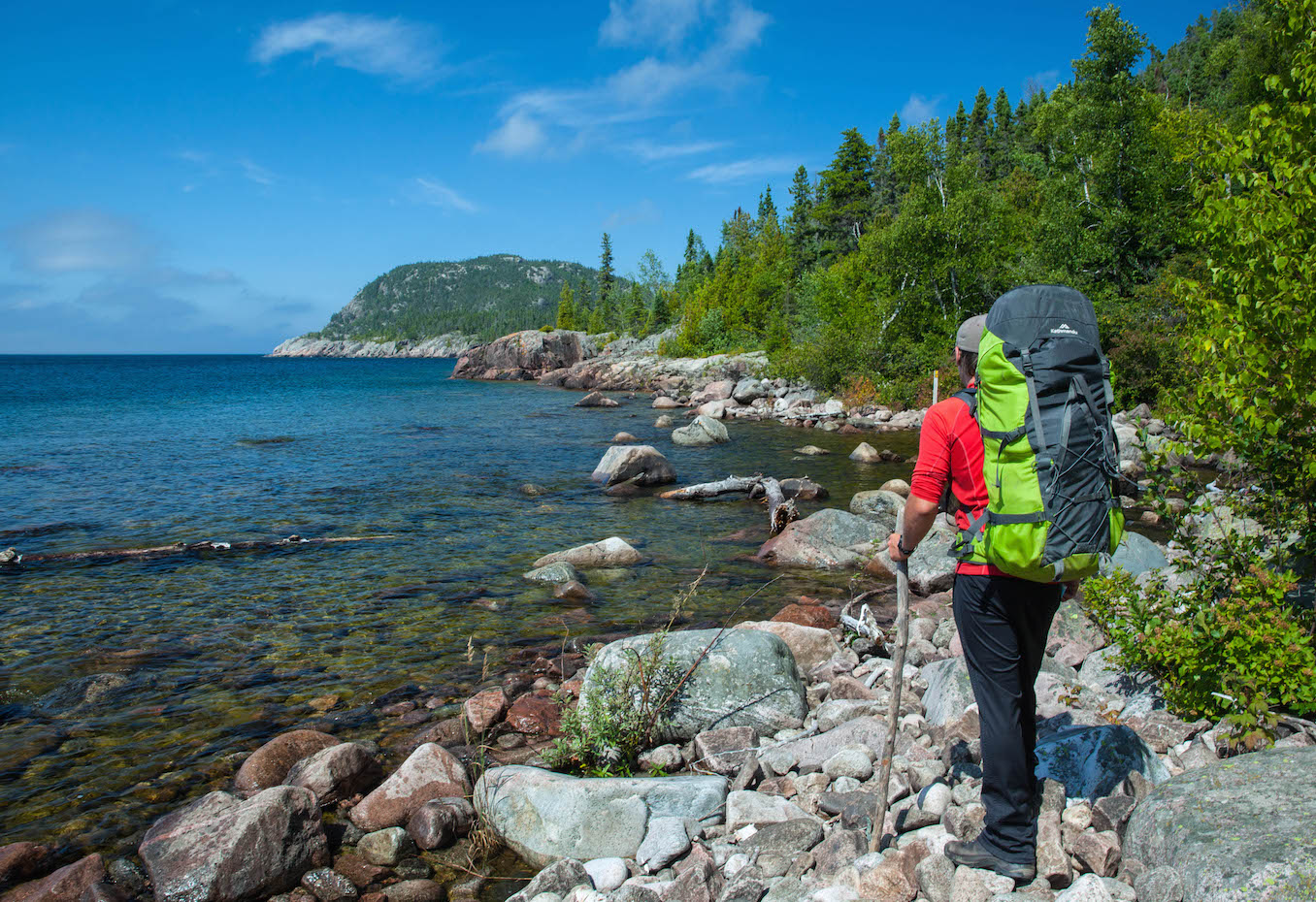
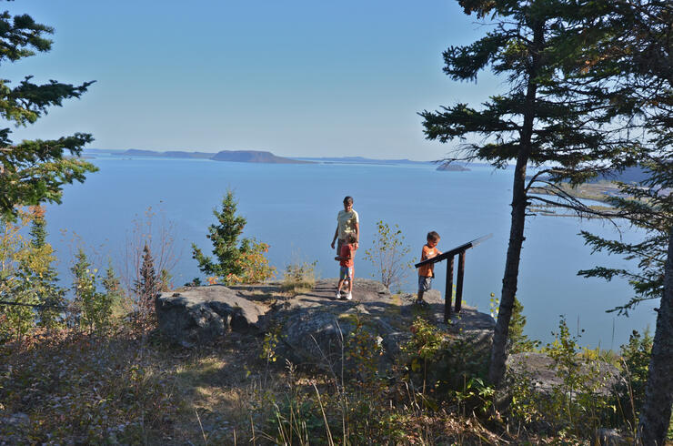
Pukaskwa National Park is one of the crown jewels of Lake Superior’s north shore. The park is best known for its expansive backcountry that attracts backpackers to explore its 60-km-long coastal hiking trail and draws experienced paddlers to its 80 km of rugged shoreline.
The park also offers a range of day hikes, and one of the lesser-known is the Southern Headland Trail, which weaves in and out of the forest to rock outcrops and viewing platforms offering breathtaking views of the mighty lake. Read more about the Park.
Access point: Pukaskwa National Park Visitor Centre, Hattie Cove
Round trip distance: 10 km Level: Difficult
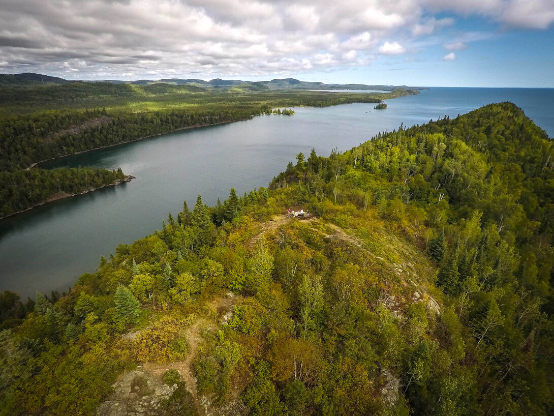
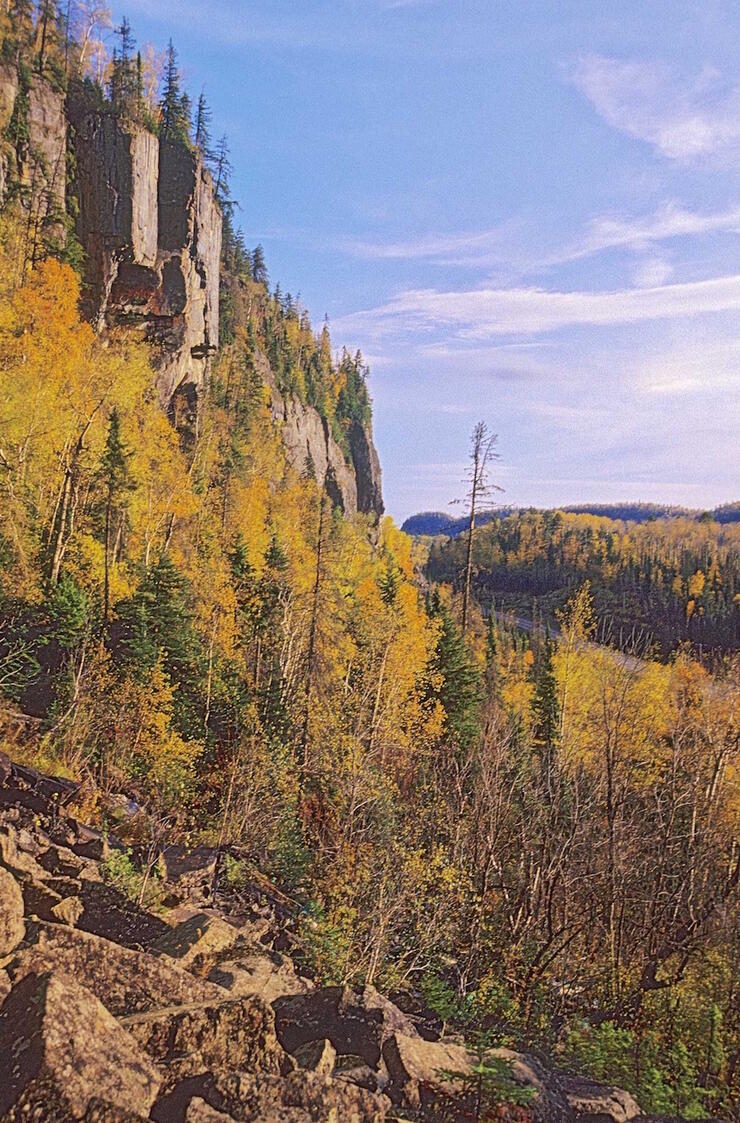
You won’t see this trail on any billboards, but if you ask a local in the Greenstone area where to go hiking, it will top the list. Also known as the Palisades of the Pijitawabik (pronounced pidg-i-ta-wa-bik), the route starts with a steep staircase that is part of a 150-metre climb to the summit, where the trail continues along the edge of a cliff. A series of lookouts provide views of the unique rock pillars, thunderous waterfalls and Lake Nipigon—itself an under-the-radar gem, which really should be counted as the sixth Great Lake. Continue onto the loop to Browse Lake, an ideal spot for a picnic.
Access point: Highway 11, about 40 km north of its junction with Highway 17; the parking lot is 200 metres from the highway (look for the blue and white sign).
Round trip distance: 16.4 km Level: Moderate
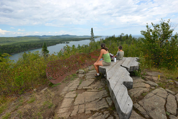
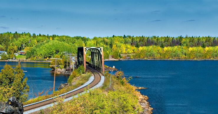
This trail connects the towns of Nipigon and Red Rock, and is well worth a sidetrip for its stunning views of the Nipigon River—the largest tributary to the Great Lakes. Known for exceptional fishing, the river still holds the record for the largest brook trout—a whopping 6.6 kilograms—that was caught over 100 years ago.
The trail from Nipigon follows the shoreline and is an easy walk, while the trail from Red Rock climbs up to a scenic lookout. In between, the terrain varies with a few steep climbs.
Access point: Nipigon Marina, or Red Rock Marina off Highway 626, just outside of Red Rock (look for the signs to Lloyd’s Lookout).
Round Trip Distance: 5.5 km Level: Moderate
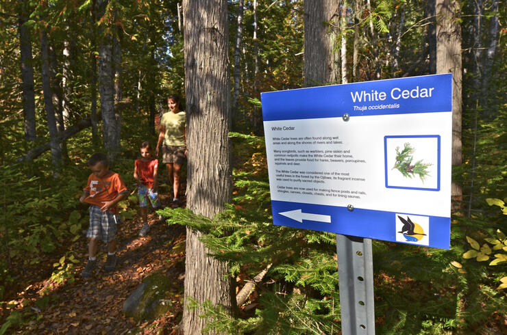
The Finger Point Trail is located in Pigeon River Provincial Park, near the Minnesota-Ontario border. The park is day-use only with limited amenities, so it does not see as much traffic as other parks in the Thunder Bay area.
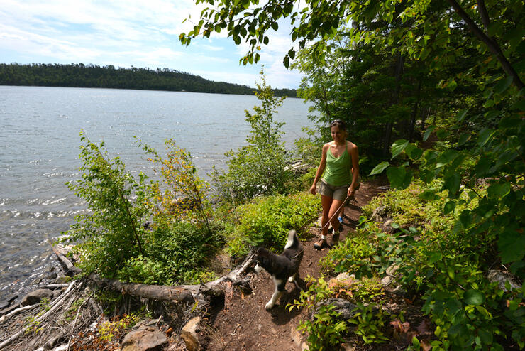
The Finger Point Trail is mainly frequented by locals and their canine friends. It leads to a scenic lookout on a narrow headland with sweeping views of Lake Superior, the Pigeon River and the forests of Ontario and Minnesota. If you have more time to explore the area, also check out the 2-km loop to dramatic High Falls on the Pigeon River. This hike begins nearby on the west side of Highway 61.
Access point: Ontario Travel Information Centre, Highway 61; follow the signs at the west end of the parking lot.
Round Trip Distance: 4 km Level: Easy
Sioux Mountain is the namesake of the town of Sioux Lookout, which is located on the traditional lands of the Ojibway about halfway between Thunder Bay and Winnipeg. The mountain was the site of a battle between the Ojibway and the invading Sioux in the 1700s, and it is believed that the Ojibway camped at the summit to watch for—and then ambush—approaching Sioux canoes. The hiking trail to the summit is easily accessed and provides a panoramic view of the town, Pelican Lake, and the surrounding boreal forest.
Access point: From Highway 664, turn right on Pelican Falls Centre Road and follow for 2.4 km. Turn right, then after 0.7 km turn left and follow until the next fork. Stay left here for trailhead parking.
Start with these five diamonds-in-the-rough, and before you know it you’ll be discovering hidden gems all over Northern Ontario. Ask around at local info centres, or just keep your eyes open when travelling the backroads and side streets around town.