
Epic Adventure in the True North
Take an Exotic Snowmobile Trip to Moosonee
By Bob Island


At first glance, the trails shown on the OFSC’s Interactive Trail Guide (ITG) look like a spiderweb of squiggles. If viewing the entirety of the OFSC Prescribed Snowmobile Trail system is somewhat overwhelming, it may be because over 30,000 kilometres of recreational trails is almost double the total 16,900 kilometres of our provincial highways.
That’s a huge whack of snowmobile trails to organize, manage and maintain annually for our winter riding pleasure. To say nothing of putting the whole system to bed each spring and getting it ready again in the fall of every year!
Fortunately, we trail riders don’t have to deal with the complexities and connectivity of the whole network, because we get to choose which trails we want to ride – and I bet none of us has snowmobiled the full 30,000! But our trail choices become easier if we understand how the entire system is organized for optimal wayfinding, and that’s what you’re about to discover…

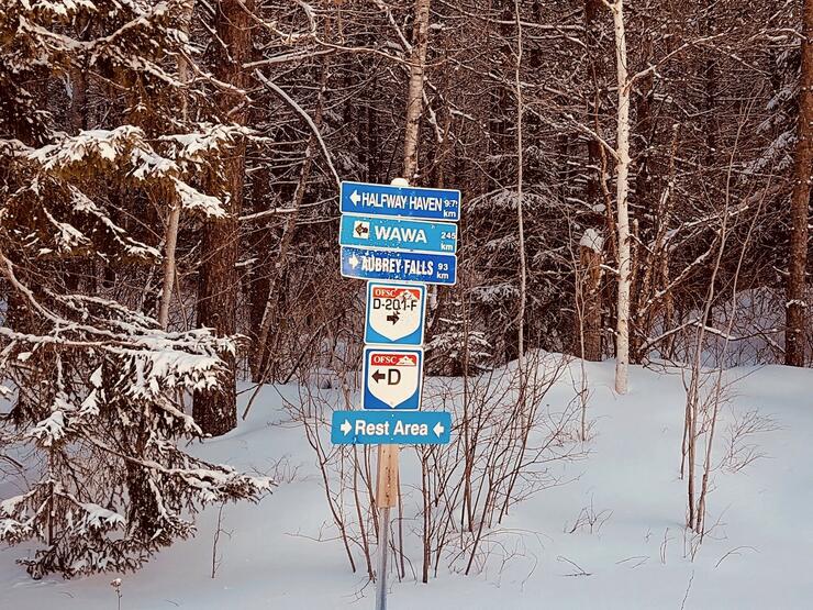
Let’s start with the term “OFSC Prescribed Snowmobile Trail.” You’ve probably seen those “Prescribed Trail” signs on OFSC trails. Introduced in 2001 under Ontario Bill 101, Prescribed Trails identify trails that are part of the OFSC trail system, where an Ontario Snowmobile Trail Permit is required by provincial law. That permit must be affixed to any sled accessing an OFSC Prescribed Snowmobile Trail for recreational trail riding.
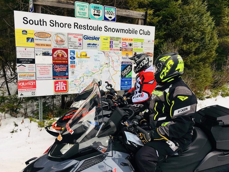
Entering a Prescribed Trail for recreational snowmobiling without displaying a valid permit is subject to fine and or trespass charges. All OFSC Prescribed Snowmobile Trails are managed operationally by OFSC Districts and maintained by local snowmobile clubs within each district.
The OFSC Prescribed Trail system includes about 15,573 kilometres of Trans Ontario Provincial (TOP) Trails, the backbone of the network. TOP Trails came into being in 1996 under a $21 million partnership between the Province of Ontario and the OFSC. Called SNO-TRAC (Snowmobile Trail Rehabilitation and Construction), the program provided $14 million in government funding for trail development to be matched by $6.8 million raised by the OFSC and its member clubs.
In some cases, new TOP Trails had to be carved out of the bush. In others, substantial improvement was required as existing trapper's paths, abandoned rail lines and old forestry roads were brought on stream. Sometimes, existing trails were upgraded to improve riding conditions. The first OFSC Provincial TOP Trail Guide was printed in 1997 (and ceased publication in 2019), the precursor to today’s ITG.
Throughout, the primary mandate was to create a trail system for touring snowmobilers that is well-mapped, well-marked and well-connected, with easy access to necessary amenities and services. Each OFSC district, through its clubs, is responsible for grooming the TOP Trails within its area.
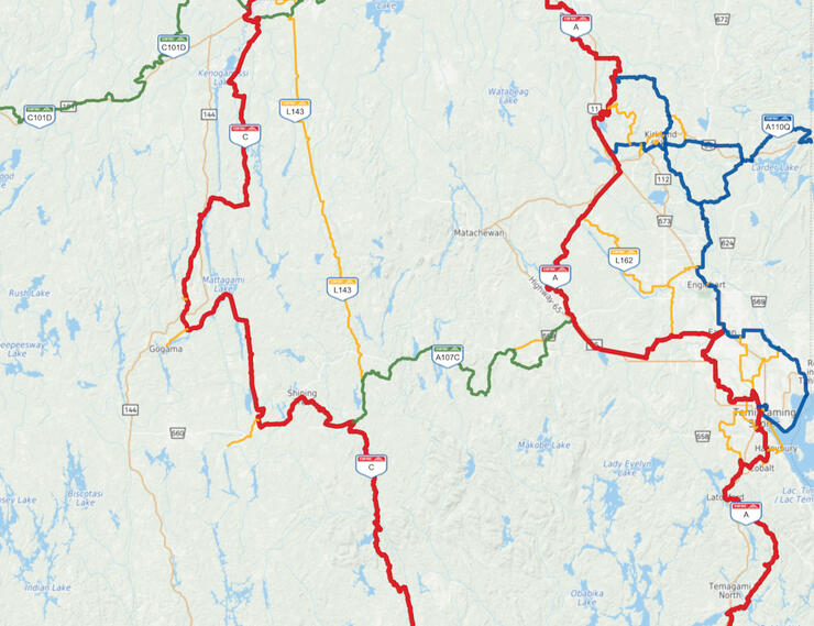
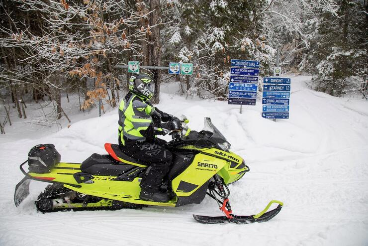
Today, OFSC TOP Trails are showcased on the ITG as a three-tier system. To view it, de-select “Trail Status” (the Legend default setting when the ITG opens). Trans Ontario Provincial (TOP) Trails provide access across the province on main touring routes, with links to snowbelt communities and tourism regions. TOP Trails are differentiated on the ITG by colour, and each colour is also shown on TOP Trail signs on the trail, as well as on the map boards installed at many intersections. So what are the three kinds of TOP Trails?
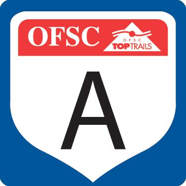
About 6,568 kilometres of Trunk Trails provide the main border to border snow corridors, designated by one letter ("A") and shown on the ITG in a rose red colour under the Trail Network view. The unfortunate demise of District 16 in 2014 (due to mill and mine shutdowns that sent workers, who were the bulk of club volunteers, looking for work in other provinces) closed sections of TOP Trails A and D north of Lake Superior, leaving 300-kilometre gaps that have never been restored. Here’s a list of TOP Trunk Trails and where they go:
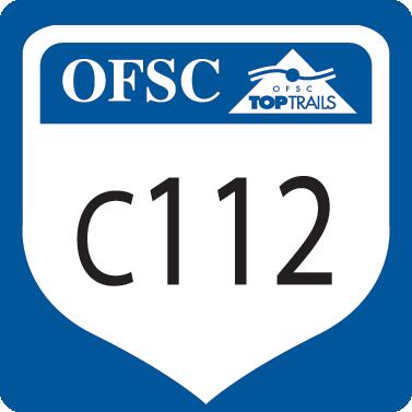
Feeder Trails channel traffic onto Trunk Trails from communities and local trail systems. They are shown in blue and designated by one letter and a three-digit number ("C112"), the letter indicating what Trunk Trail it connects to. With about 5,312 kilometres, Feeder Trails are too numerous to itemize in a list,
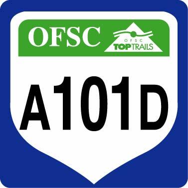
Connector Trails are designated by two letters and three digits ("A101D") and shown in green. About 3,693 kilometres of these trails connect two Trunk Trails (in this example, "A" and "D"). Feeder Trails linking to the Quebec border have a "Q" added after the number (e.g. A101Q).
As previously noted, TOP Trails comprise about 47% of all OFSC trails. The other 53%, about 15,851 kilometres, consists of Club Trails. While Club Trails are not part of the TOP Trail System, they are just as important within their area. They are local routes, colour-coded Orange on the ITG, and identified by various district-assigned colours and designations. Club Trails are often used to access TOP Trails.
Regardless of trail type, all OFSC trails are groomed and signed to the same provincial standard.
So there you have it. You’re up to date on the fundamentals of Navigation 101 for OFSC trails. Now all you have to do is learn how to use the ITG as a planning tool and carry the OFSC Go Snowmobiling PRO App with you – then follow the trail signs and you’re good to go!
Ontario law requires a snowmobile entering an OFSC Prescribed Snowmobile Trail to display a valid Ontario Snowmobile Trail Permit.


